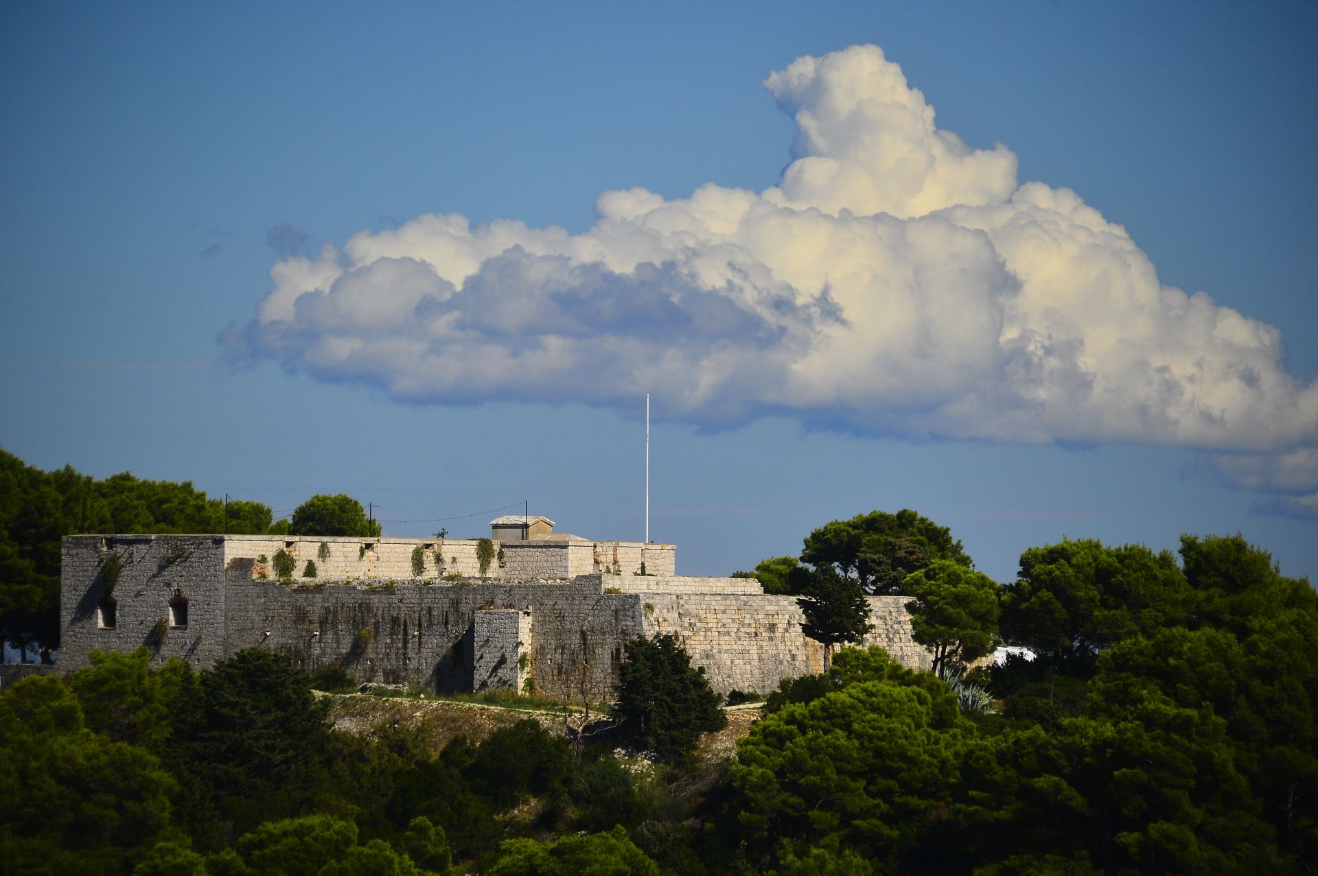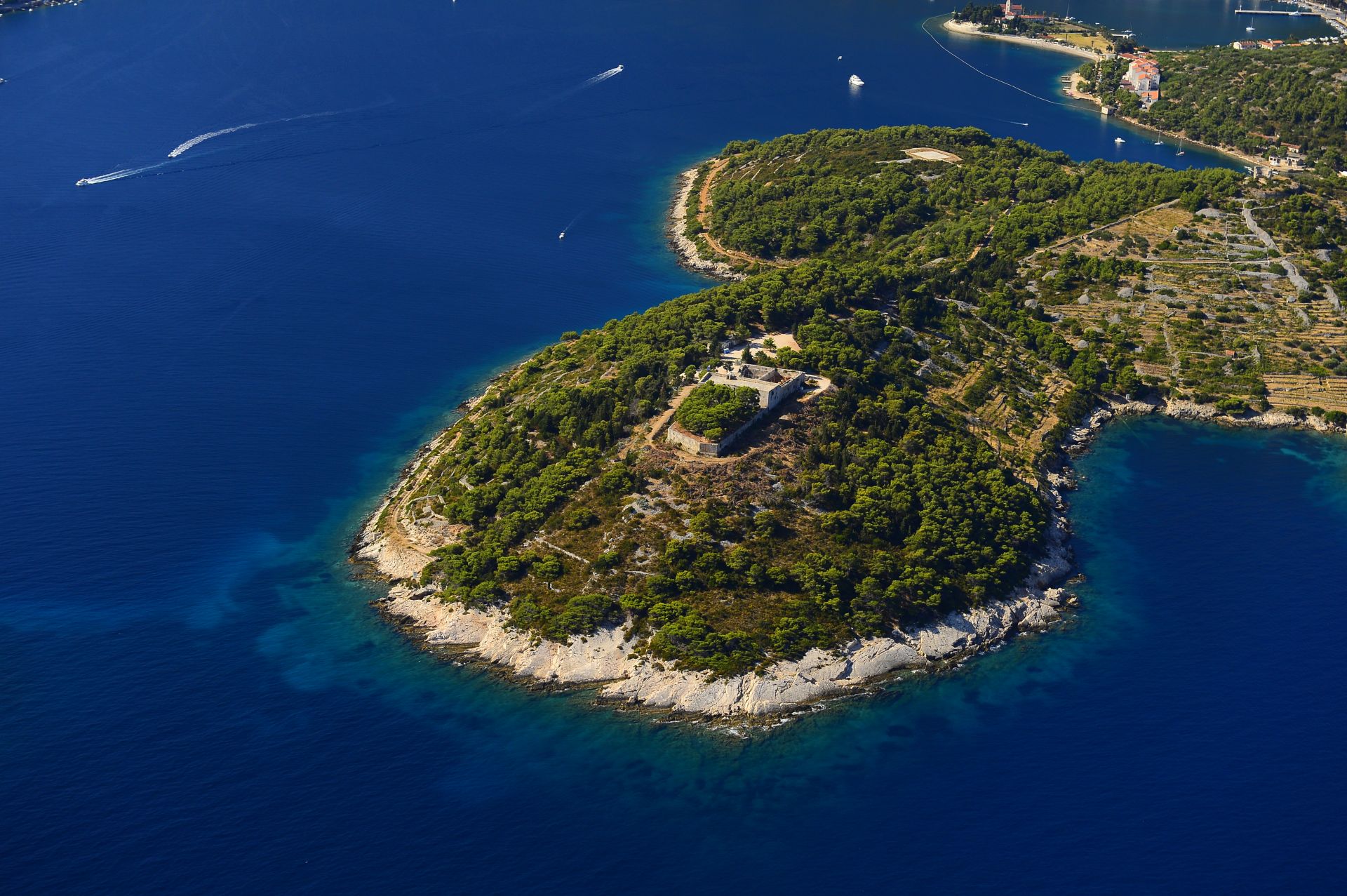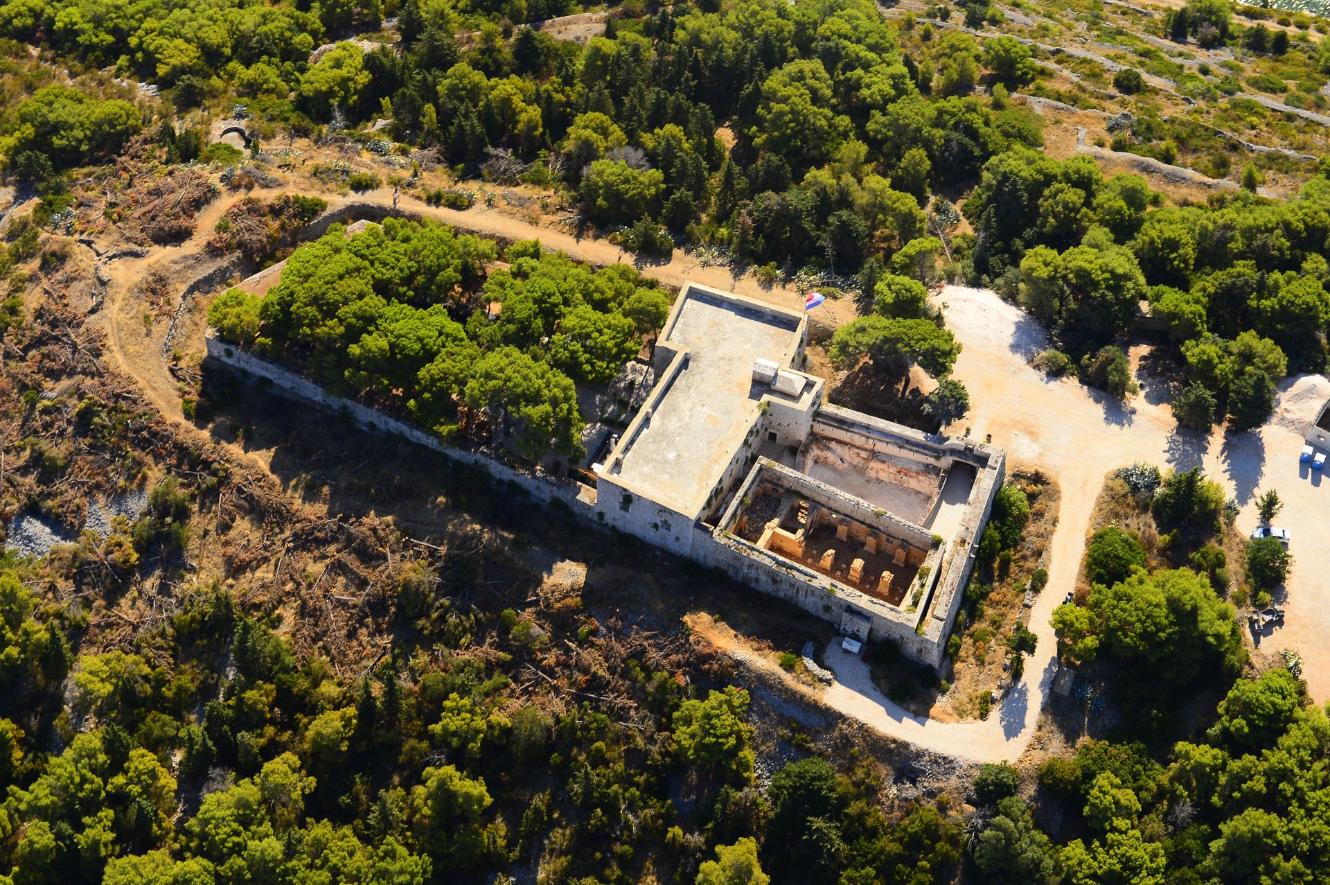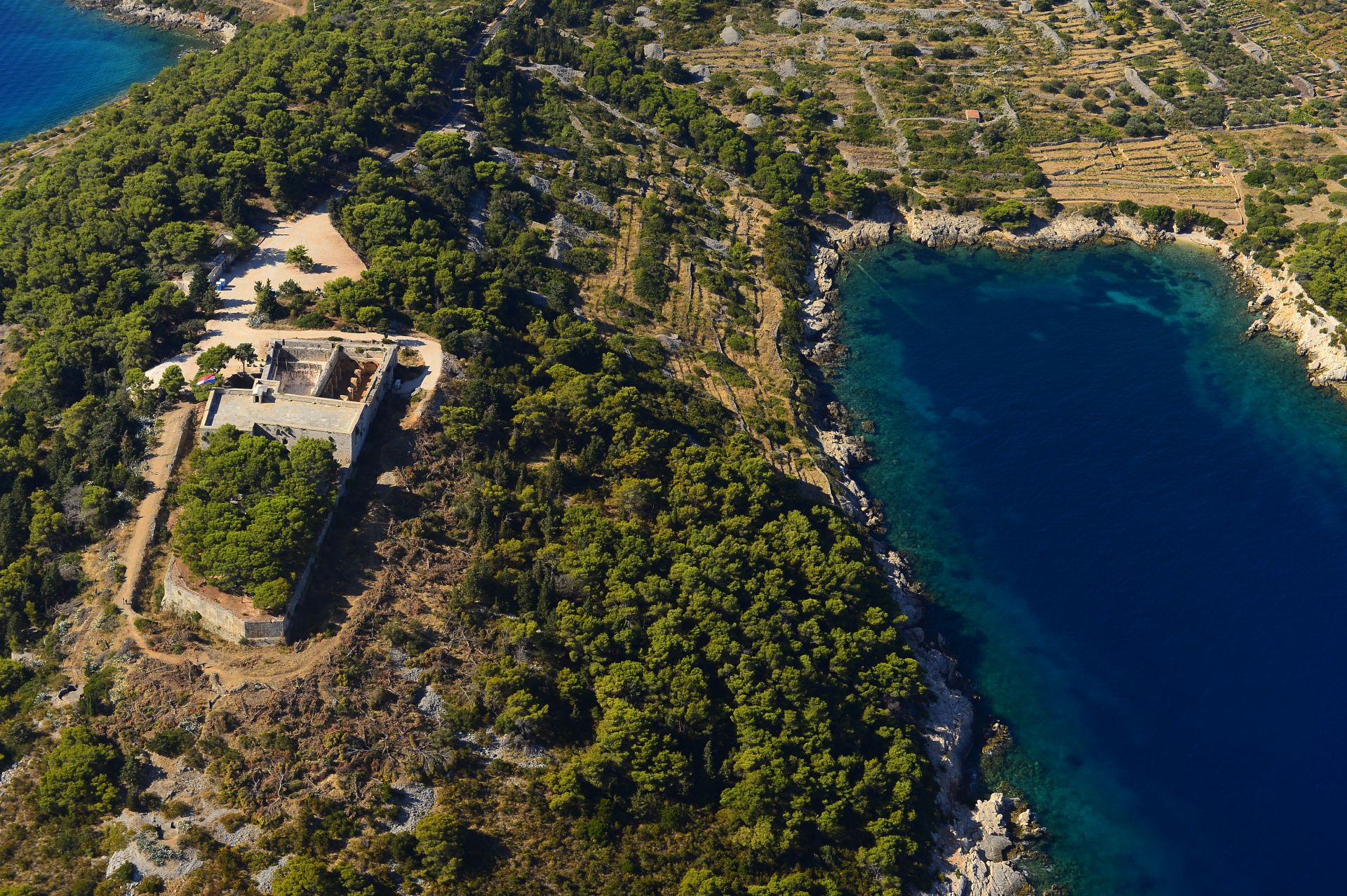

For many centuries, the island of Vis was the ‘fortress of the Adriatic’. Possession of Vis meant controlling the entrance to the Adriatic and navigation of its waters. This was demonstrated in July 1866. The naval forces of the Austrian Empire and the Kingdom of Italy fought over the island of Vis. This was the biggest sea battle between ironclad warships in the Adriatic. In addition to naval forces, the Austrians also deployed their land forces stationed in the strongholds on the island. Some of these were crucial in repelling an Italian landing. Following the row of forts, towers and coastal batteries, we follow the course of a battle that left an indelible mark on European military and naval history.
- Start 43º 4’ 23.873” N / 16º 11’ 48.462” E
King George III Fortress; after 30 m, descend to the left onto the trail - 0.23 km Mamula Fortress (battery); return to the road, and after 180 m turn left onto the trail
- 0.56 km Robertson Tower (battery); return to the road, and after 350 m turn left onto the trail
- 1.28 km Šupurina Battery; return to the road, turn right for 100 m, and then continue along the gravel path to the left
- 1.82 km the gravel path connects to the trail at the dry stone wall
- 1.95 km Bentinck (Terjun) Fortress (tower); follow the trail to the asphalt and continue to the right
- 2.70 km plaque with the inscription ‘Viški boj’ (Battle of Vis) in Stonca Cove
- 3.32 km Roman thermae (ancient Issa); continue along the Riva in the town of Vis
- 4.71 km Our Lady’s Fortress (Batteria della Madonna); continue along the Riva to the gravel path at 5.70 km
- 9.53 km Wellington Fortress (tower)
- Start 43º 4’ 6.708” N / 16º 12’ 54.72” E
Wellington Fortress (tower) - 2.42 km go along the asphalt road
- 3.19 km go along the gravel path
- 4.08 km go along the trail
- 4.70 km take the gravel path
- 6.10 km leave the gravel path
- 6.40 km Podstražje Fortress (battery); continue along the trail
- 6.70 km go along the asphalt road
- 8.04 km go along the field path
- 10.20 km World War Two Vis Airport (Plisko Polje)
- Start 43º 1’ 56.914” N / 16º 10’ 51.352” E
World War Two Vis Airport (Plisko Polje) - 0.10 km go along the gravel path
- 4.25 km Church of St. Anthony; go along the trail
- 4.45 km go along the gravel path
- 4.90 km go along the trail
- 8.19 km go along the road
- 8.61 km Church of St. Michael (Sveti Mihovil) (at the foot of the church, there is a cistern and the assumed position of the former Austrian Max Ferdinand military barracks)
- Start 43º 2’ 53.758” N / 16º 6’ 47.743” E
Church of St. Michael (Sveti Mihovil) (at the foot of the church, there is a cistern and the assumed position of the former Austrian Max Ferdinand military barracks); follow the trail downhill to Komiža - 1.63 km go along the asphalt road
- 2.95 km go along the trail
- 4.04 km Church of St. Blasius (Sveti Blaž)
- 4.34 km go along the gravel path
- 5.78 km go along the trail
- 7.16 km turn towards the Manjarema fortress
- 7.80 km Manjarema fortress
- 9.21 km go along the asphalt road
- 9.71 km Komiža
BATTLE OF VIS - Fortica
Trail length: 9.6 km / 6.0 miles
Climb height: 182 m / 597 ft
Web: www.alltrails.com/widget/map/gps-2018-05-05-3days-01931a6?u=m